Detail
Wispile – Lauenen Trail
8,59 km
0:43 hr
14 m
680 m
85
S2 TOP Moderate
Best season
JanFebMarAprMayJunJulAugSepOctNovDec
Download
Starting point of the tour
Wispile mountain station
Destination of the tour
Village Lauenen
Lowest point
1.236 m
Highest point
1.917 m

Properties
- Linear route
- Singletrail/Free ride
- Scenic
- Refreshment stops available
- Cableway ascent/descent


Bike Seebergsee
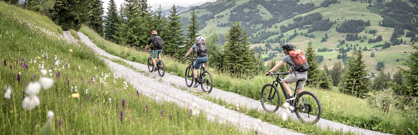
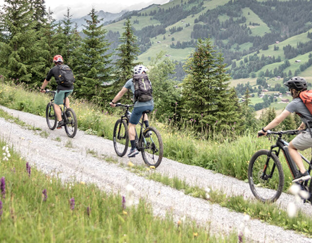
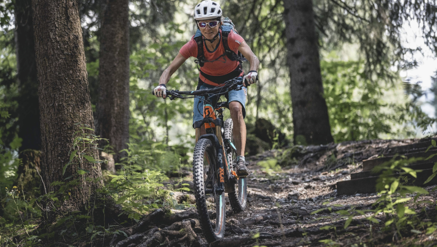
Mountain bike trail over the ridge of the Wispile with spectacular views on the way to Chrine-Pass and the mountain village of Lauenen. The medium-difficulty route is mostly on single trails.
After the ascent with the cable car Wispile the trail starts on the left side of the mountain restaurant and leads from there on the right side of the ski lift along the very wide hiking trail. Then you follow the hiking trail over the ridge of the Wispile to the "Chrinetritt". There the hiking trail splits up, the route follows the path leading to the right towards Gsteig. From here the trail becomes technically more demanding and steeper to the " Chrine ".
After this descent there is a short climb back to the "Chrine-Pass". From there you follow the hiking trail towards Lauenen. Here the path leads through beautiful fir forests until it joins the alpine road. After about 250 meters on the alpine road the route follows the hiking trail which starts at the top station of the ski lift Lauenen. Over mountain meadows you follow the path to the asphalt road. There you turn right to return to the village of Lauenen. Alternatively you can follow the route back to Gstaad by turning left.
Properties
Wispile – Chrinetritt – Chrine Pass – Lauenen
Equipment
Mountainbike, clothing and equipment appropriate to the weather, tool kit and first aid kit.
Tip of the author
A coffee break on the panorama terrace of the Hotel Alpenland or Hotel Wildhorn in Lauenen before the next tour.
Bike day ticket of the cable cars.
Safety information
This tour is not signposted along the way. Use GPS.
Please take note of the operating dates for lifts and cable cars.
Public Transit
From Gstaad railroad station by bike to Wispile valley station (10 minutes).
Parking
Parking Wispile Gstaad
Getting There
The Destination Gstaad is located in the south-west of Switzerland right on the border to the French-speaking part of the country. The Destination is easily accessed by rail or car from the regions around Lake Thun and Lake Geneva and the Gruyere region Direct connections to the European high-speed rail network and all international airports in Switzerland guarantee a time-saving and pleasant journey. The main means of transport in the destination of Gstaad are the "MOB" (Montreux-Oberland Bernois) train and numerous post bus lines.
More information on gstaad.ch: Travel & Public Transport.
Additional Information
More information about the mountainbike routes in the Destination Gstaad: www.gstaad.ch/mountainbike
Map and arrival