Detail
Gstaad – Bissen – Turbach – Gstaad
9,74 km
2:55 hrs.
280 m
280 m
85
TOP Moderate
Best season
JanFebMarAprMayJunJulAugSepOctNovDec
Download
Starting point of the tour
Promenade Gstaad
Destination of the tour
Promenade Gstaad
Lowest point
1.051 m
Highest point
1.329 m

Properties
- Scenic
- Circular route
- Refreshment stops available
- Family-friendly

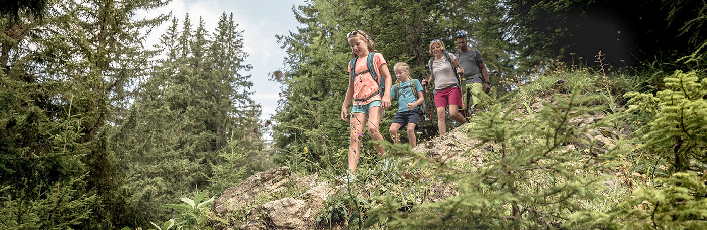
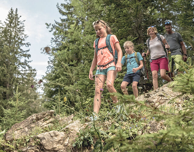
Familienwanderung

Turbach
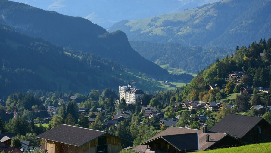
Aussicht von Bissen nach Gstaad

Cheers während Sonnenuntergang beim Fonduecaquelon bei der Käsegrotte, Bissen

Fonduecaquelon bei der Käsegrotte, Bissen
An enjoyable hike along cool streams and the sunny southern slopes of Gstaad begins in the village of Gstaad.
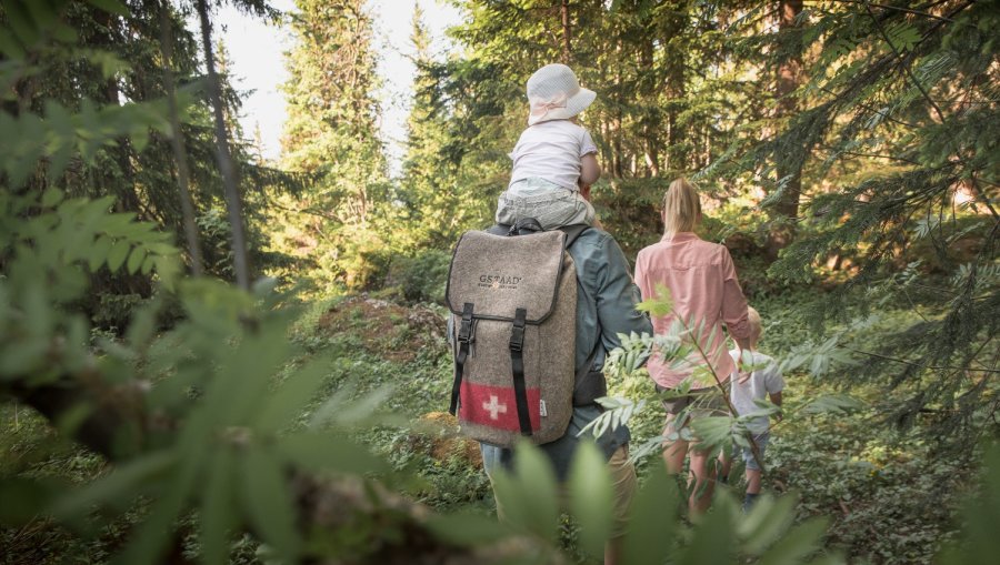
The leisurely hike goes from Gstaad village along the Louwibach and Turbach streams into the scenic landscape of Turbach Valley. From there the trail leads to Bissen, which offers a wonderful view onto Gstaad. The turning point of the hike goes over Scheidbach near the small village of Turbach. Then it’s back towards Gstaad – this time along the sunny southern slopes on a flat trail higher up. From here there is a great view onto the Gstaad mountains – the Rüblihorn, Gummfluh and Stalden. A hiking trail then leads through Overbort, with its magnificent and noble chalets, back to the center of Gstaad.
Equipment
Good footwear, snacks to savor during a break - why not a Fondue-Backpack? Furter Infroamtion on www.gstaad.ch/fondueland
Tip of the author
The path is very suitable for afternoon walks as it is rich in evening sun.
Public Transit
With the train from Spiez to Zweisimmen and Gstaad or from Montreux to Gstaad.
Parking
Various parking spaces and car parks are available in Gstaad.
Getting There
With the car from Spiez to Zweisimmen and then to Gstaad, from Montreux to Château-d'Oex and then to Gstaad or from Aigle over the Col du Pillon to Gsteig or Gstaad.
Additional Information
More information about the hiking trails in the Destination Gstaad: https://www.gstaad.ch/en/summer/hiking.html
Destination Gstaad
Haus des Gastes
Promenade 41
3780 Gstaad
Tel: +41 (0)33 748 81 81
E-Mail: info@gstaad.ch
www.gstaad.ch
Map and arrival