Detail
Mittelberg - Grubenberghütte - Le Savigny - Pont de la Scie
14,40 km
5:25 hrs.
802 m
1.335 m
85
TOP Difficult
Best season
JanFebMarAprMayJunJulAugSepOctNovDec
Download
Starting point of the tour
Mittelberg Pass
Destination of the tour
Pont de la Scia
Lowest point
1.101 m
Highest point
1.943 m

Properties
- Linear route
- Scenic
- Geological highlights
- Fauna
- Insider tip
- Flora

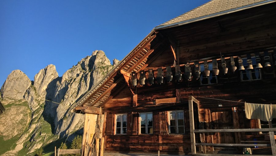
Alphütte Le Savigny und les Trois Pucelles

Weisse Trichterlilie auf dem Savigny Trail

Blühende Türkenbund auf dem Savigny Trail

Zu Füssen der imposanten Gastlosen-Gebirgskette Les Trois Pucelles
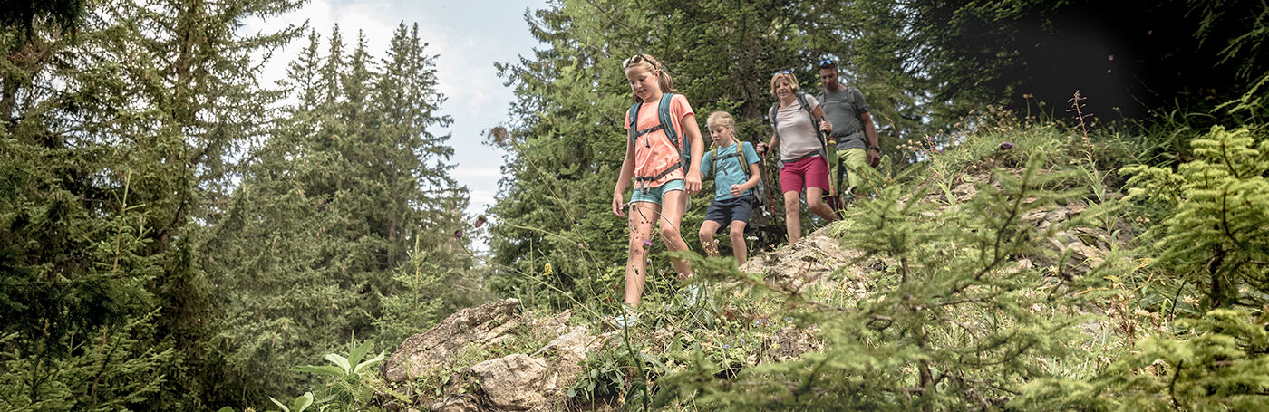
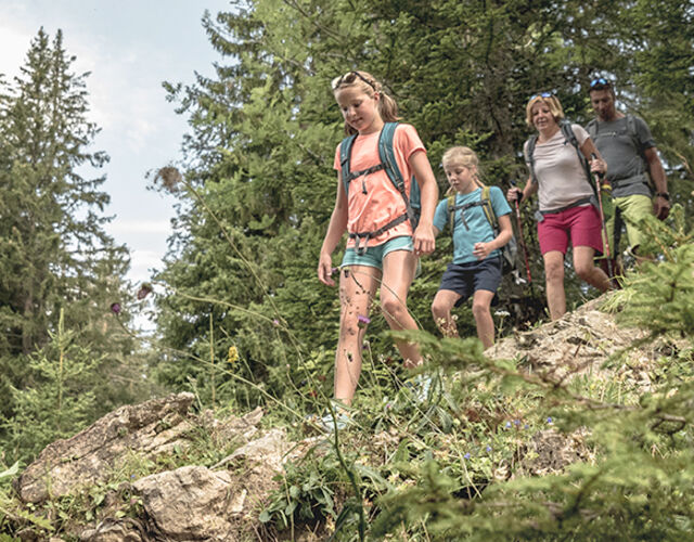
This long and spectacular hike takes you from Mittelberg to the Grubenberg hut and then via Alp Le Savigny to Rodomont and down to Pont la Scia. Along the way you can enjoy beautiful alpine flowers and maybe even marmots and have a breathtaking view of the mountain peaks. And you might even buy a delicious cheese from one of the Alps.
The post bus from Saanen takes you easily to the Mittelberg Pass. From there, this long and spectacular hike leads to the Grubenberg hut and then via Alp Le Savigny to les Rodomonts and down to Pont de la Scie.
From Mittleberg, the trail goes straight up relatively steeply to the Grubenberg hut. After that it's only a short climb and mainly along the impressive mountain flanks of Dent de Ruth and Dent de Savigny. On the way, you will come across alpine orchids or marmots at the right time. Via Alp Savigny and Combette, you descend to Col de la Forcla. From here, continue to Les Rodomonts to enjoy the view of the Saanenland and Pays-d'Enhaut and then descend steeply into the Grischbach valley to Pont de la Scie, where the post bus can take you back to Saanen.
Also a very beautiful hike from Abländschen.
Properties
Mittelberg Pass - Grubenberghütte - Le Savigny - Combette - Col de la Forcla - Les Rodomonts - Pont de la Scie
Equipment
Good footwear, snacks to savor during a break - why not a Fondue-Backpack?
Tip of the author
The hike is very long. Take the first bus to Mittelberg.
Safety information
The trail is mostly steep and partly exposed. Only for experienced, sure-footed mountain hikers and only after the snow has melted.
Public Transit
Busstop Mittelberg
Saanen - Mittelberg - Abländschen -Jaun
Saanen - Mittelberg - Abländschen -Jaun
Additional Information
Map and arrival