Detail
Saanen - Cholisgrind - Saanen
4,29 km
1:45 hrs.
270 m
270 m
76
TOP Moderate
Best season
JanFebMarAprMayJunJulAugSepOctNovDec
Download
Starting point of the tour
Saanen
Destination of the tour
Saanen
Lowest point
1.009 m
Highest point
1.279 m

Properties
- Circular route


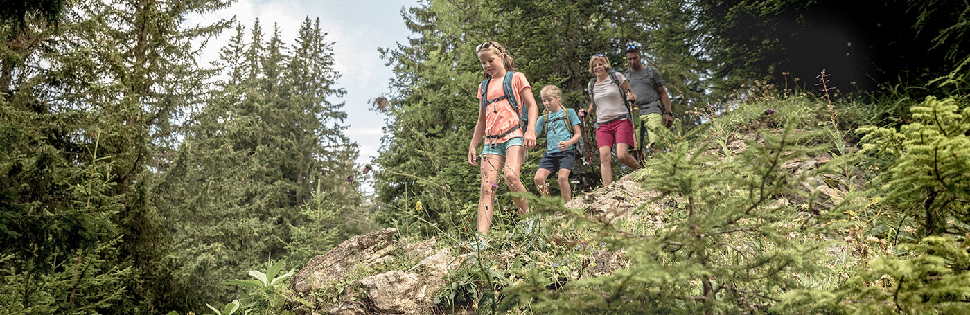
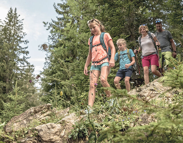
From Saanen via Rüebeldorf to the Cholisgrind and back to Saanen.
From Saanen, the hike leads along the road via Rüebeldorf in the direction of Chalberhöni. Shortly after entering the forest, leave the road and follow the Cholisgrindweg up to Cholis Vorschessli. Here you turn right and walk up to the Cholisgrind at 1'281 m above sea level.
From the top you walk back the same way to Cholis Vorschessli. From this point, the trail zigzags northwards down the forest to Saanen.
Properties
Saanen - Rüebeldorf - Gärstere - Schlyffeweid - Cholisgrind - Saanen
Equipment
Good footwear, snacks to savor during a break - why not a Fondue-Backpack? Further Infroamtion on www.gstaad.ch/fondueland
Public Transit
Saanen, railway station
Parking
There are several parking facilities in the village of Saanen:
Parking Zentrum, Bahnhofplatz, Märetplatz, Pfrundmätteli or Floraplatz.
Getting There
The Destination Gstaad is located in the south-west of Switzerland right on the border to the French-speaking part of the country. The Destination is easily accessed by rail or car from the regions around Lake Thun and Lake Geneva and the Gruyere region Direct connections to the European high-speed rail network and all international airports in Switzerland guarantee a time-saving and pleasant journey.
More information on gstaad.ch: Travel & Public Transport.
Additional Information
See also
Gstaad Saanenland Tourismus
Haus des Gastes
Promenade 41
3780 Gstaad
Tel: +41 (0)33 748 81 81
E-Mail: info@gstaad.ch
www.gstaad.ch
Map and arrival