Detail
AlpnessTrail #8: Lauenen - Gsteig

- Linear route
- Multi-stage route
- Scenic
- Fauna


Thanks to the AlpnessTrail, people who enjoy long hikes have access to a circular trail with 13 stages passing through the Saanenland and Obersimmental Alps.
Influence of the Walser people and hydropower
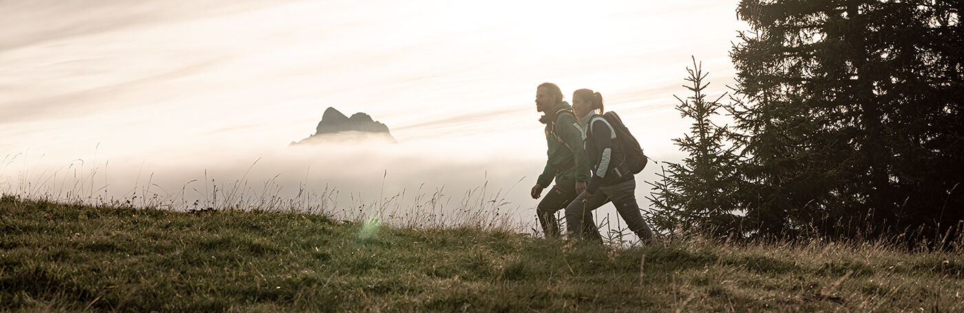
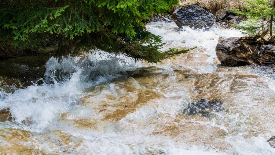
The hiking trail then climbs gently through a wetland towards Brüchli. Mt. Wildhorn, Mt. Spitzhorn and Mt. Lauenenhorn provide us with a wonderful view. The pretty town of Lauenen gets smaller and smaller. We soon get to the Chrine Pass. Right by the pass crossing, we climb up on the left hand side to Mt. Brandsberg and further on to Mt. Wispile in Valais. Its name dates back to the 13th century. Walser people who had migrated here „besieged“ Mt. Wispile and there were regular skirmishes. However, we keep walking to Alp Burg. Our view extends over the beautiful end of the valley towards Gsteig, the most southerly village north of the Swiss Alps. The trail leads us along the imposing Burg Falls down to Innergsteig and then past the hydroelectric power station to Gsteig.
Highlights
- 150 metres of pure, dizzying hydropower at the Burg Falls
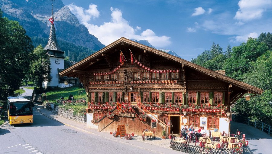
- After the hike, enjoy a quiet moment of contemplation in the impressive church dating back to the 15th century.
Host at the stage finish:
The section Burgfälle requires a head for heights.