Detail
AlpnessTrail #10: Feutersoey – Chalberhöni

- Linear route
- Multi-stage route
- Scenic
- Refreshment stops available


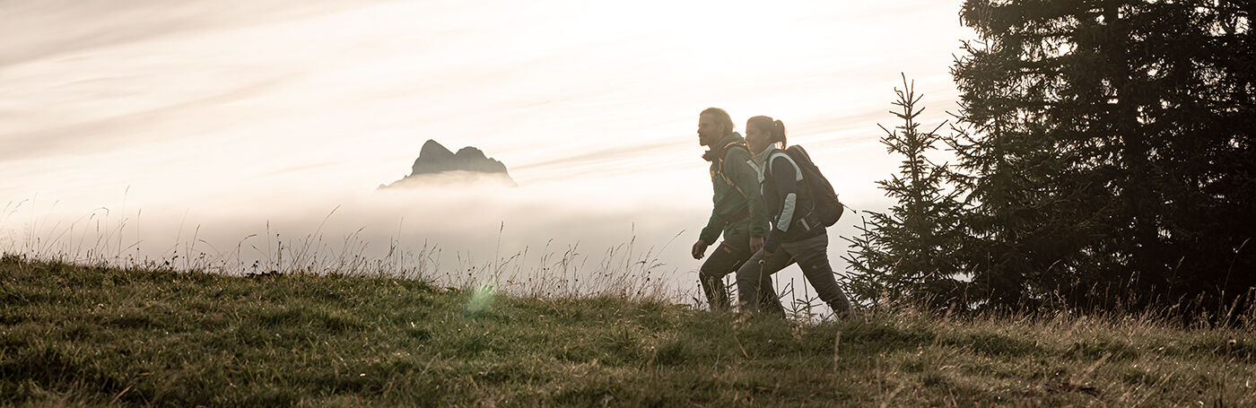
Thanks to the AlpnessTrail, people who enjoy long hikes have access to a circular trail with 13 stages passing through the Saanenland and Obersimmental Alps.
Unspoilt landscapes in three valleys
The route leads back towards Lake Arnen on a different hiking trail than the day before and branches off to the right just before the lake. The highest point of today's royal stage is the Meielchäle Pass! The climb leads to Alp Wittenberg before traversing the steep slopes, with dry habitat vegetation stretching right up to the pass at an altitude of 2,190 m a.s.l. If you keep your eyes peeled, you have a chance of seeing ibexes here. The descent leads through some species-rich flower meadows of Alp Meiel, which also appeal to marmots. The escarpment be-low the mountain pasture requires a bit of caution in wet or icy conditions. Then you reach the expansive Meielsgrund Valley which is inhabited year-round and is home to ancient sycamore trees. Now it‘s time to muster your last strength to get to our stage finish in the Chalberhöni Valley via Wilde Bode.
Highlights
- Queen stage of the AlpnessTrail
- Sure-footed climb up Mt. Witteberghore (2,350 m a.s.l.) from Meielchäle Pass
- Traditional Alpine farms without an access road on Mt. Meiel
- Impressive change in landscape and vegetation from the southern side of the Meielchäle Pass to the northern side
Host at the stage finish: www.restaurant-waldmatte.ch
The section Meielchäle requires a head for heights.