Detail
Tour du Wildhorn #1: Gsteig - Geltenhütte

- Linear route
- Multi-stage route
- Scenic
- Geological highlights
- Fauna
- Refreshment stops available
- Flora

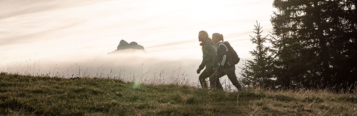
With the Tour du Wildhorn, a wonderful long-distance hike over four stages opens up to mountain hikers.
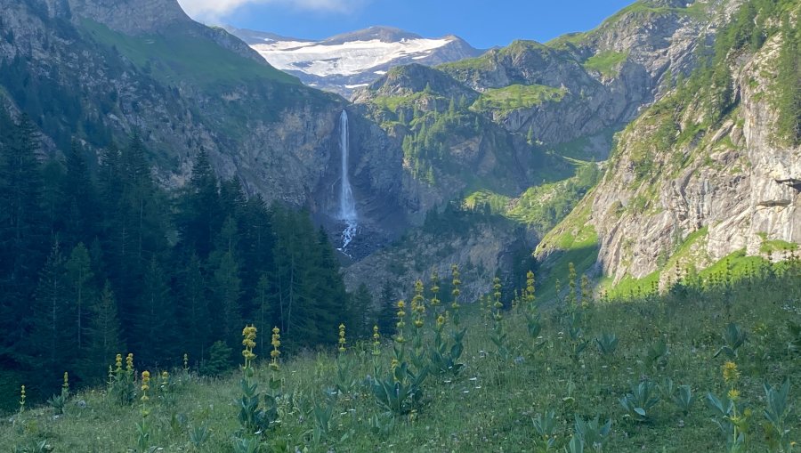
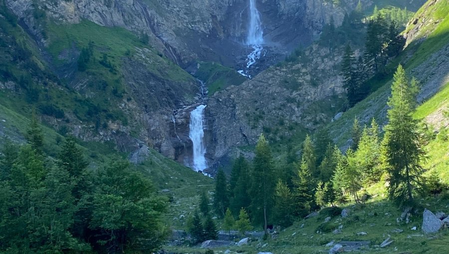
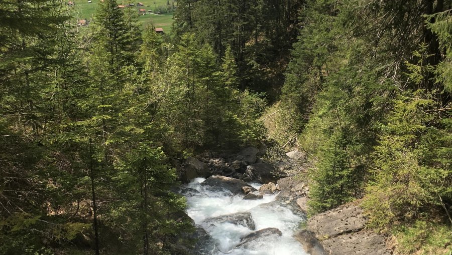
From Gsteig to the entrance of the Burg Falls, you get in the mood for the coming hike without much effort. From the Burgfälle, the ascent begins along the various waterfalls. The ascent continues steadily up to the Vordere Wispile. Via the Walliser Wispile (1982m.a.s.l.) and the Hintere Wispile you descend to the Chrinepass. Follow the signposts in the direction of Lauenensee. Lake Lauenen, a special kind of gem, is becoming increasingly silted up and is threatening to disappear. Stop at the Restaurant Lauenensee, the landlady will be happy to provide you with food and drink, depending on the season.
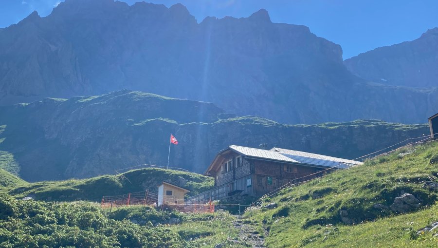
At the Ledi, you climb along the Geltenbach stream via Alp Feissenberg, and later up the imposing Geltenschuss to the Geltenhütte. It is located on the Inneri Gelten Alp.
Gsteig - Vodere Wispile - Lauenensee - Geltenhütte
Good shoes, enough to drink and eat.
If the sun is shining, take enough water with you and don't forget the sunscreen.
Trittsicherheit bei den Burgfällen.
Tour du Wildhorn - News