Detail
Tour du Wildhorn #3: Iffigenalp - Cabane des Audannes

- Linear route
- Multi-stage route
- Scenic
- Geological highlights
- Fauna
- Insider tip
- Cultural/historical interest
- Flora


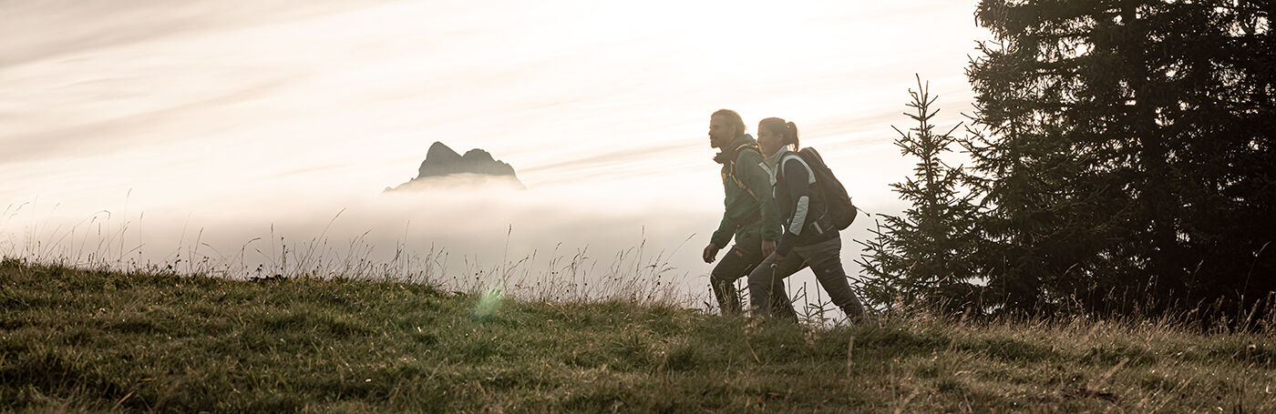
With the Tour du Wildhorn, a wonderful long-distance hike over four stages opens up to mountain hikers.
You climb in steep serpentines and a spectacular traverse up to the Stieräläger. The path is wide and pleasant to walk on and soon you reach the Rawil pass. You then continue your way over the Plan des Roses to the small lake without a name, now you are in the territory of the French-speaking municipality of Ayent. Continue on narrow and well-marked paths over some hills and hollows. The path then crosses cart fields (strong karst erosion), where the path markings with pink dots become more visible. Soon the trail climbs up to the Col des Eaux Froides where you can already see the hut! Now descend to Lac des Audannes and the last 40 metres up to the hut.
Iffigenalp - Rawilpass - Lac de Enchet - Cabane des Audannes
Good footwear, enough to drink and eat.
Stop and enjoy the unique view of Lac de Tseuxier and the surrounding Valais mountains.
Pack your hiking poles in your rucksack before the karst work to have both hands free for scrambling.
Tour du Wildhorn - News
Anzère | Cabane Des Audannes | Ayent