Detail
Tour du Wildhorn #4: Cabane des Audannes - Sanetschpass - Gsteig

- Linear route
- Multi-stage route
- Scenic
- Geological highlights
- Fauna
- Insider tip
- Refreshment stops available
- Flora
- Cableway ascent/descent

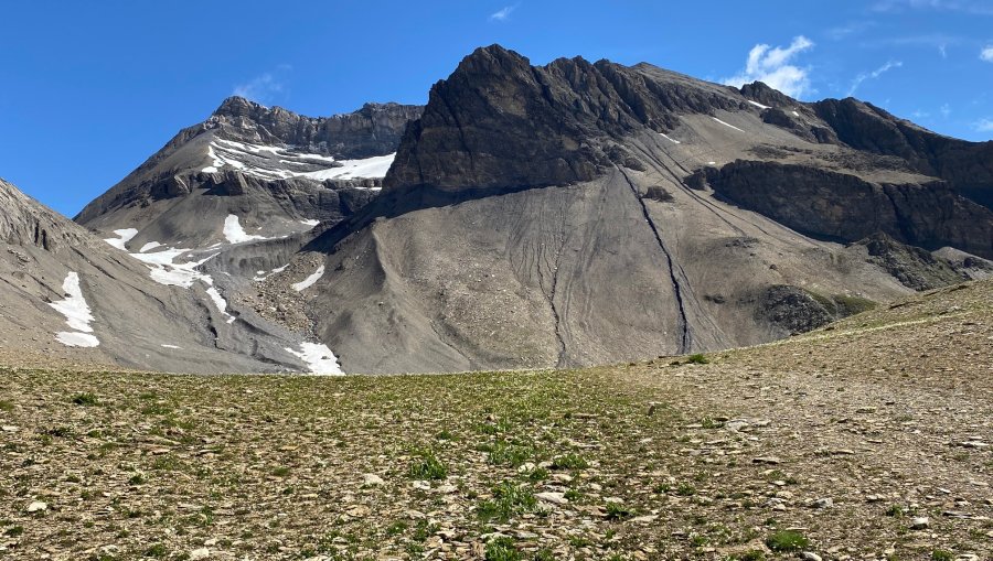
With the Tour du Wildhorn, a wonderful long-distance hike over four stages opens up to mountain hikers.
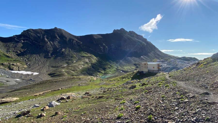
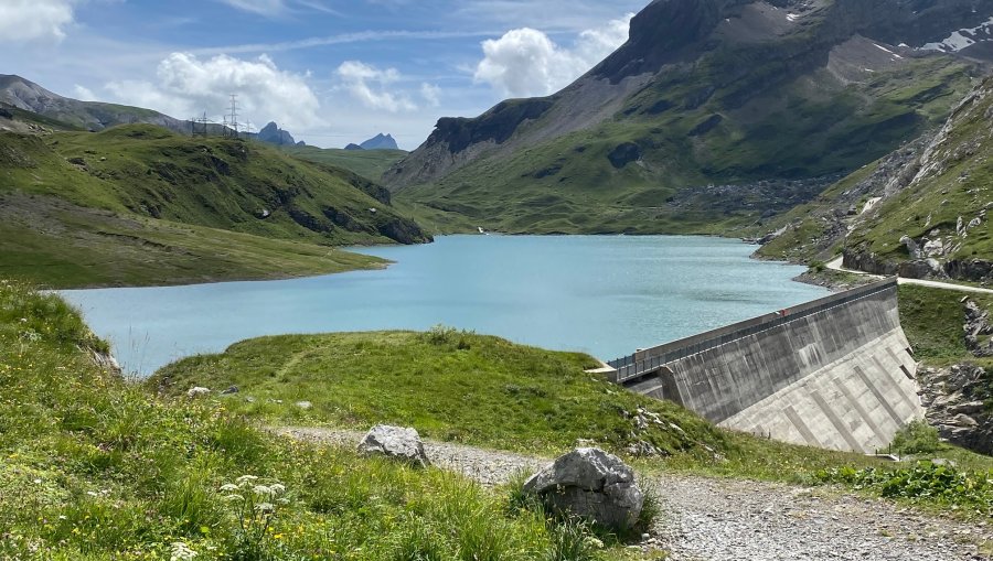
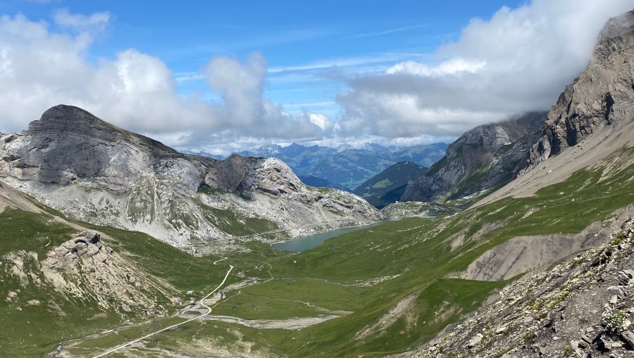
Ascend the valley to the saddle (La Selle 2709m). Follow the ridge to the Pass des Audannes (Col des Audannes 2886m). Beautiful panorama of the Vaudois and Valais Alps up to Mont Blanc. The descent to Grand Gouilles is first via ladders and ropes. Cross Grand Gouilles (2471m) in a westerly direction to reach the Arête de l`Arpille (2652m) with a steady ascent. Follow the ridge westwards to the Sanetsch Pass (2252m). A good path along the right bank of the lake leads you to the Sanetsch dam and the inn of the same name (2050m). The descent to Gstig is steep and requires full concentration once again (as an alternative, the Sanetsch cable car can also be used).
Cabane des Audannes - Col du Sanetsch - Barrage du Sanetsch - Gsteig
Good shoes, enough to drink and eat.
Stop every now and then and enjoy the view of the Valais and Vaud mountains (do you recognise the Materhorn and Mont Blanc?).
The descent to Grand Gouilles is secured with ladders and ropes - good concentration and surefootedness is required.
Tour du Wildhorn - News
Fahrplan - Seilbahn Sanetsch