Detail
Gstaad - Oberbort - Turbach - Bissen - Gstaad
11,32 km
3:15 hrs.
279 m
279 m
71
TOP Moderate
Best season
JanFebMarAprMayJunJulAugSepOctNovDec
Download
Starting point of the tour
Gstaad, railway station
Destination of the tour
Gstaad, railway station
Lowest point
1.049 m
Highest point
1.328 m

Properties
- Scenic
- Circular route
- Refreshment stops available
- Groomed snow


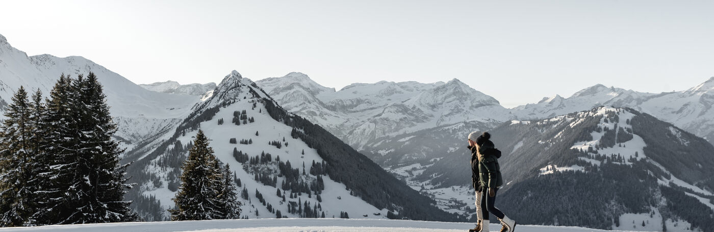
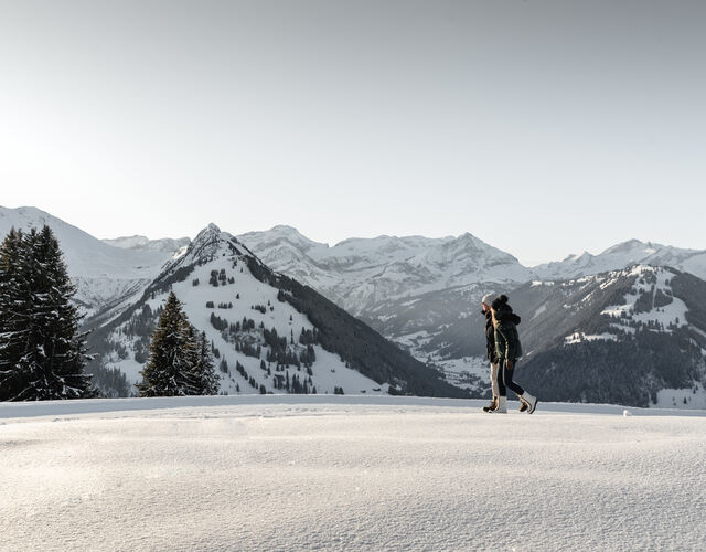
Winterwandern in der Ferienregion Gstaad

Gstaad Promenade

Gstaad Promenade

Gstaad Promenade
The trail takes you along the sunny side of the street from Gstaad via Nüweret up to Oberbort, past some magnificent chalets. The high-level trail then leads to the little village Turbach. Possibility to prolong to the end of the valley, to Wintermatte. The way back to Gstaad goes on the other side of the stream «Turbachbach», via Bisse.
Properties
Gstaad - Nüweret - Oberbort - Turbach - Bissen - Gstaad
Tip of the author
On the way from Gstaad - Nüweret - Oberbort - Turbach, an abbreviation of approximately 15 minutes is possible if taking the way directly from Gstaad to Oberbort instead of via Nüweret.
Public Transit
Gstaad train station
Parking
Various parking spaces and car parks are available in Gstaad.
Getting There
The Destination Gstaad is located in the south-west of Switzerland right on the border to the French-speaking part of the country. The Destination is easily accessed by rail or car from the regions around Lake Thun and Lake Geneva and the Gruyere region Direct connections to the European high-speed rail network and all international airports in Switzerland guarantee a time-saving and pleasant journey. The main means of transport in the destination of Gstaad are the "MOB" (Montreux-Oberland Bernois) train and numerous post bus lines.
More information on gstaad.ch: Travel & Public Transport.
Additional Information
See also
Gstaad Saanenland Tourismus
Haus des Gastes
Promenade 41
3780 Gstaad
Tel.: +41 (0)33 748 81 81
E- Mail: info@gstaad.ch
www.gstaad.ch
Map and arrival