Detail
Lauenen - Rohrbrücke - Lauenen (loop)
2,52 km
0:40 hr
54 m
54 m
66
TOP Easy
Best season
JanFebMarAprMayJunJulAugSepOctNovDec
Download
Starting point of the tour
Lauenen
Destination of the tour
Lauenen
Lowest point
1.196 m
Highest point
1.248 m

Properties
- Circular route
- Refreshment stops available


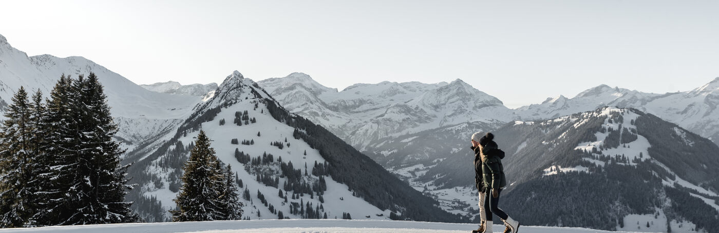
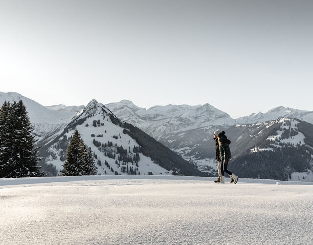
Short and easy circular hike around the mountain village of Lauenen.
Properties
Lauenen - Rohrbrücke - Sattelmatte - Underem Büel - Lauenen
Public Transit
With the Postbus to Lauenen b. Gstaad, Geltenhorn.
Parking
Parking in Lauenen
Getting There
The Destination Gstaad is located in the south-west of Switzerland right on the border to the French-speaking part of the country. The Destination is easily accessed by rail or car from the regions around Lake Thun and Lake Geneva and the Gruyere region Direct connections to the European high-speed rail network and all international airports in Switzerland guarantee a time-saving and pleasant journey.
More information on gstaad.ch: Travel & Public Transport.
Additional Information
See also
Gstaad Saanenland Tourismus
Haus des Gastes
Promenade 41
3780 Gstaad
Tel.: +41 (0)33 748 81 81
E- Mail: info@gstaad.ch
www.gstaad.ch
Map and arrival